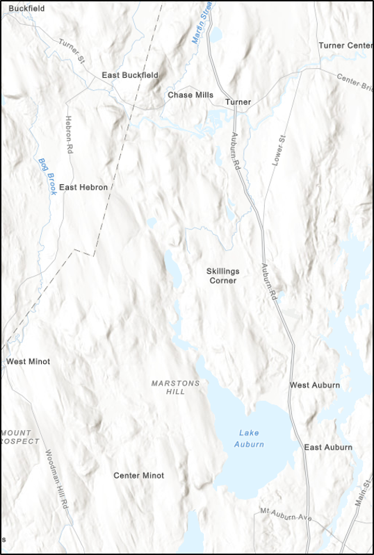
What is a watershed?
A watershed is an area of land that drains all the surface water and precipitation to a common outlet/catchment area such as a lake, bay, or river. The common catchment area for the Lake Auburn Watershed is Lake Auburn. The watershed is 11, 758 acres and Lake Auburn is 2,298 acres. Not including the lake, the watershed is made up with different types of land uses. Developed land is 15% of the watershed, agriculture land is 6%, forest land is 74%, and water and wetlands is 5% of the watershed. Water in the watershed follows the topography, or features of the land. These features can be natural such as mountains, hills, ponds and streams, but they can also be man-made such as housing complexes and roads.

Surface Runoff
Surface runoff is water from precipitation or another event, flowing over the landscape of the watershed.
Roads, buildings, compacted soil, and other hard surfaces are impervious surfaces. These are surfaces that prohibit the absorption of water, causing the water to speedily flow over the watershed. In comparison, permeable surfaces are porous surfaces that allow water to move and filter through them, they work in a similar way that a kitchen sponge can absorb and hold water. Most vegetated areas are permeable surfaces.


Adding vegetation or engineered permeable surfaces to urban areas helps mitigate surface runoff. The image above describes different ways that individuals or cities can improve impervious surfaces. The closer we model a natural undeveloped watershed, the healthier our own watershed will be.
For more information check out Maine Lakes’ handbook The Lake Book: A Handbook for Lake Protection. This book is a wide range of information about lake science, health, and conservation in one easy-to-read, informative resource.